At first, I thought it was a large dog. I expected its human owner to appear right behind it, yet no one did. The dark brown animal stood there, completely still, for several seconds.
As we began taking photos, my hiking partner whispered, “A serow on the Serow Old Trail (山羊古道). How auspicious!” Good fortune, no doubt — but neither of us got a worthwhile picture of this particular creature.
The Taiwan serow (Capricornis swinhoei) is an endemic bovid categorized by the Wildlife Conservation Act as a “rare and valuable species.” It lives throughout Taiwan’s mountainous interior, but avoids humans.
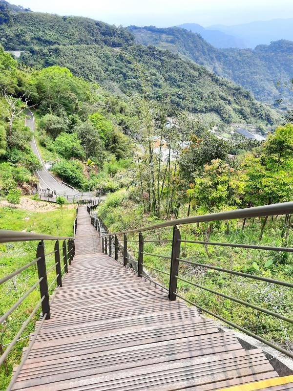
Photo: Steven Crook
After the serow turned tail and bounded up the hill in a manner that proved it wasn’t a canine, I racked my brain, trying to think where and when I’d last spotted one in the wild. Pingtung County? The late 1990s?
The serow had good reason to regard us as intruders. To get on the path, we’d stepped over a length of yellow crime-scene tape, the kind which is often used to alert people that a path, a fence or a road has fallen victim to Taiwan’s unstable topography.
Lacking up-to-date information, Richard and I had set off up the wooden stairway beside Provincial Highway 18 — the main road connecting Chiayi City with Alishan (阿里山) — expecting to have to turn back. We left our water bottles in the car, and carried nothing but our phones.
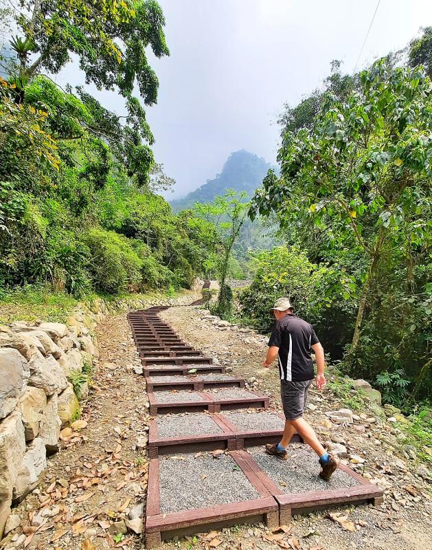
Photo: Steven Crook
For the past several years, Richard has worked as a birdwatching and ecotourism guide. Most of what I know about birds I’ve learned from him. But like many others in his industry, he now has a great deal of free time due to the COVID-19 pandemic.
The trail was steep, and somewhat overgrown in parts, but no more scary or slippery than many others which are officially and undeniably open. We pressed on, gaining altitude, crossing patches of mixed forest, and coming across small cliffs. I was ahead of Richard, pausing to catch my breath while appreciating a grove of delicate bamboo, when the serow sauntered into view.
That encounter came soon after we’d reached the highest point on the trail, which according to one Chinese-language blog starts at a bit over 900m above sea level and ascends a total of 260m. Beyond the crest, there’s a stretch where the path was recently restored using concrete.
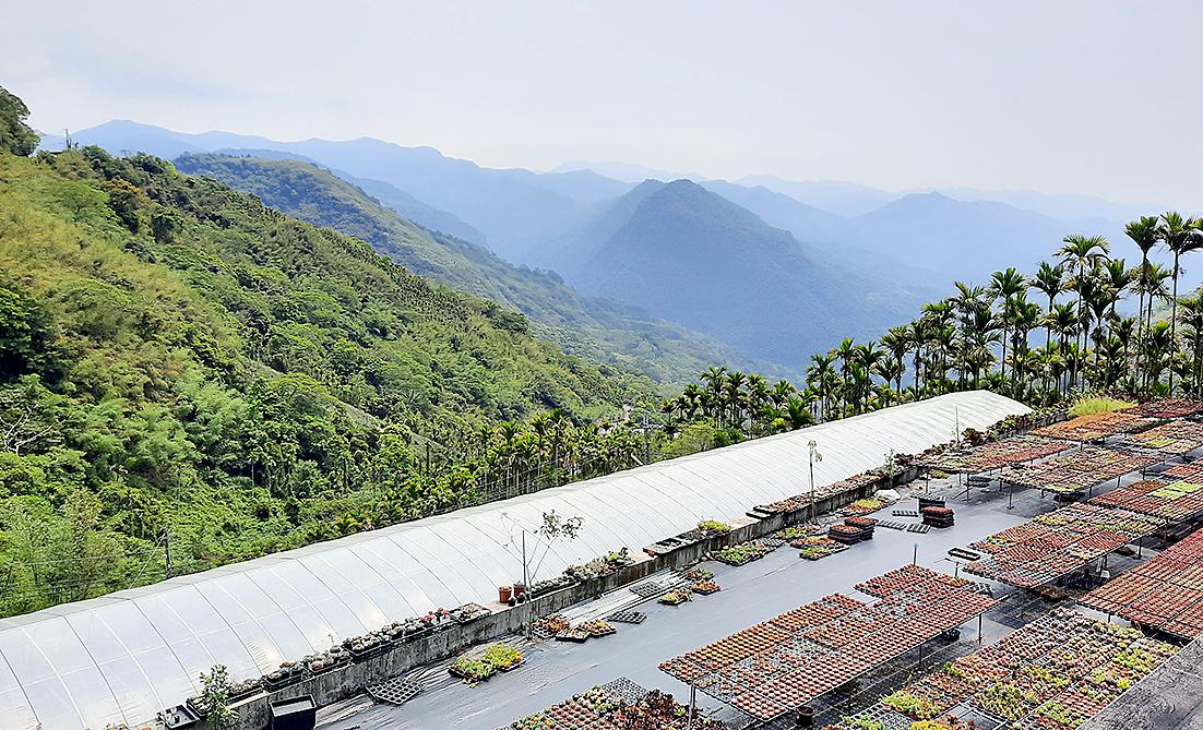
Photo: Steven Crook
We’d been walking for less than 90 minutes when we found ourselves on a concrete track wide enough for the small trucks used by mountain farmers. Strolling downhill, we flushed what was probably a Crested goshawk.
The track led right to my car. This was convenient, but a little surprising. According to the information board at the trailhead, the Serow Old Trail is 3.58km in length, and connects the 47.9km marker (where I’d parked) on Provincial Highway 18 with the 46.5km marker on the same road. Had we missed a section? Sometime I’ll return and try to find out.
It wasn’t yet midday, and conditions were about perfect, so we drove 2km further inland on Provincial Highway 18, and then less than 100m along Chiayi County Road 131. Leaving the car in a parking lot which boasted superb views to the east, we walked to the beginning of the Majhuhu Trail (麻竹湖步道).
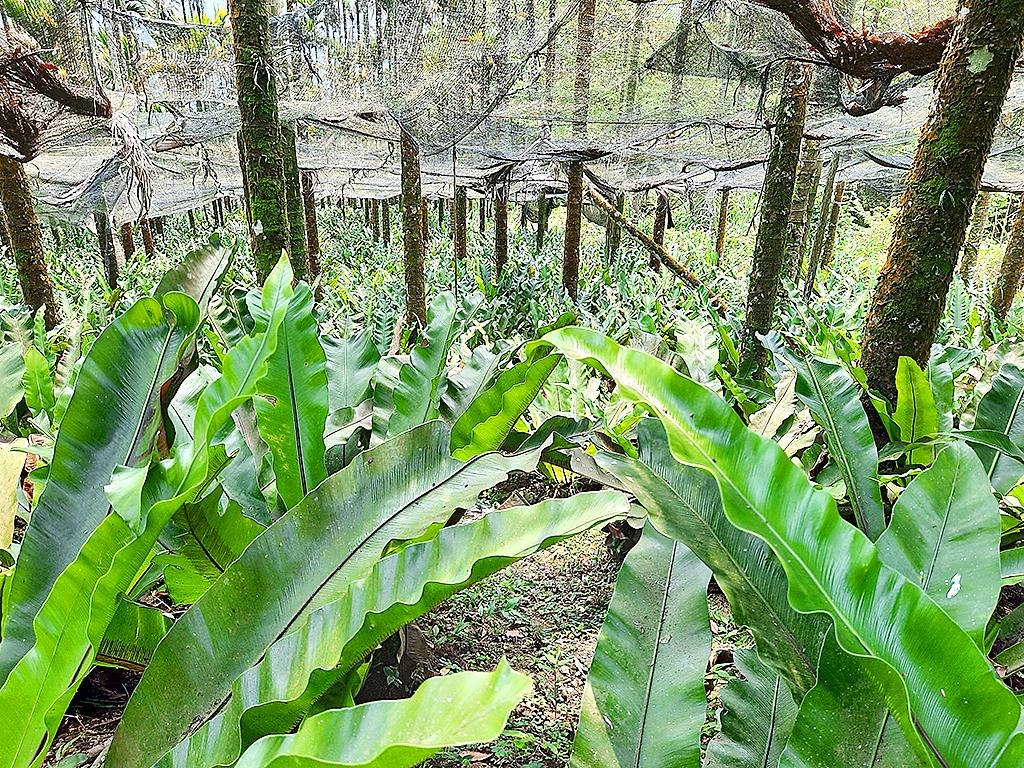
Photo: Steven Crook
The path is just 1km long, but a lot is packed into that short distance: Lots of climbing on both wooden stairs and concrete tracks, rows of tea bushes, stands of bamboo, and when you get to the very top, almost 360 degrees of mountain panoramas.
From the ridge, where there’s a pair of platforms with benches, we could make out Zengwen Reservoir (曾文水庫), about a dozen kilometers to the south.
The bilingual information panel at the parking lot calls this path the Majhuhu Trail, but several online resources refer to it as the Gongsing Longmei Path (公興龍美步道). The path climbs from 1,043m above sea level to 1,179m. Expect to spend more time enjoying the scenery than actually hiking.
After a simple lunch at the first eatery we saw when we got back to Highway 18, Richard suggested detouring onto Chiayi County Road 130-1. A narrow but properly-surfaced back-country route, it turns off from Provincial Highway 18 between the 44km and 44.5km markers.
Less than 1km along it, the road widens and there’s space to park a few cars. The creek which goes under the road here obviously broke its banks not long ago. Using both concrete and more eco-friendly materials, the authorities are now trying to stabilize the landscape. In a few years’ time, once the trees that have been planted are more mature, it should be a lovely spot.
It’s already a good place for birdwatching, Richard told me. To his annoyance, more than one example of a certain avian species he’s seen here before — but which invariably stays hidden whenever he brings clients — frolicked in plain sight.
Recognizing the song of the Rusty Laughingthrush (an endemic described by birdingintaiwan.com as an “uncommon resident in the lower mountains of Taiwan at 600m to 2,100m”) is no great achievement, he explained. But seeing one is another matter. The fact that neither of us had brought binoculars made this an even more satisfying end to our short expedition.
Steven Crook has been writing about travel, culture, and business in Taiwan since 1996. He is the co-author of A Culinary History of Taipei: Beyond Pork and Ponlai, and author of Taiwan: The Bradt Travel Guide, the third edition of which has just been published.
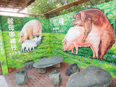
May 6 to May 12 Those who follow the Chinese-language news may have noticed the usage of the term zhuge (豬哥, literally ‘pig brother,’ a male pig raised for breeding purposes) in reports concerning the ongoing #Metoo scandal in the entertainment industry. The term’s modern connotations can range from womanizer or lecher to sexual predator, but it once referred to an important rural trade. Until the 1970s, it was a common sight to see a breeder herding a single “zhuge” down a rustic path with a bamboo whip, often traveling large distances over rugged terrain to service local families. Not only

Ahead of incoming president William Lai’s (賴清德) inauguration on May 20 there appear to be signs that he is signaling to the Chinese Communist Party (CCP) and that the Chinese side is also signaling to the Taiwan side. This raises a lot of questions, including what is the CCP up to, who are they signaling to, what are they signaling, how with the various actors in Taiwan respond and where this could ultimately go. In the last column, published on May 2, we examined the curious case of Democratic Progressive Party (DPP) heavyweight Tseng Wen-tsan (鄭文燦) — currently vice premier
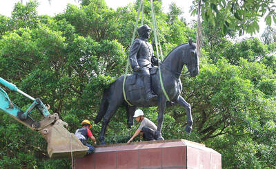
The last time Mrs Hsieh came to Cihu Park in Taoyuan was almost 50 years ago, on a school trip to the grave of Taiwan’s recently deceased dictator. Busloads of children were brought in to pay their respects to Chiang Kai-shek (蔣中正), known as Generalissimo, who had died at 87, after decades ruling Taiwan under brutal martial law. “There were a lot of buses, and there was a long queue,” Hsieh recalled. “It was a school rule. We had to bow, and then we went home.” Chiang’s body is still there, under guard in a mausoleum at the end of a path

Last week the Directorate-General of Budget, Accounting and Statistics (DGBAS) released a set of very strange numbers on Taiwan’s wealth distribution. Duly quoted in the Taipei Times, the report said that “The Gini coefficient for Taiwanese households… was 0.606 at the end of 2021, lower than Australia’s 0.611, the UK’s 0.620, Japan’s 0.678, France’s 0.676 and Germany’s 0.727, the agency said in a report.” The Gini coefficient is a measure of relative inequality, usually of wealth or income, though it can be used to evaluate other forms of inequality. However, for most nations it is a number from .25 to .50