At some point in his life, US President Donald Trump looked at a world map and saw something he wants — something that he now says he would take “one way or the other.” It is Greenland, an autonomous territory of Denmark, one of the US’ closest allies.
“I love maps,” Trump once said. “And I always said: ‘Look at the size of this. It’s massive. That should be part of the United States.’”
And so an obsession began, one that is now turning into a spectacle somewhere between political farce and geopolitical crisis, as an unusual — and uninvited — US delegation toured Greenland, to “check it out,” as one of the visitors, US Vice President JD Vance, put it.
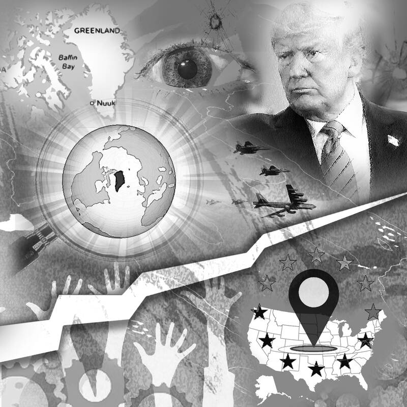
Illustration: Kevin Sheu
The original plan was for his wife, Usha Vance, to take one of their sons to a famous dogsled race, while high-ranking officials visit other destinations in parallel. That caused outrage in Denmark and Greenland, which just held an election and is busy forming a new government. The Danish prime minister complained about “unacceptable pressure,” the outgoing Greenlandic leader called the visit “highly aggressive” and meant “to demonstrate power over us,” while his likely successor agreed that it “once again shows a lack of respect.”
So the trip was shortened and diverted. Instead of mushing and sightseeing, the Vance entourage dropped in on an isolated US space base that monitors the skies for incoming ballistic missiles. Even so, the damage is done and keeps getting worse, because Trump has made clear that he bigly covets that big landmass, roughly as Russia has long claimed Ukraine or as China eyes Taiwan.
To the extent that Trump’s love for maps plays a role, it is hardly the first time that the whims of cartography have shaped the worldviews of leaders and thus the arc of history. The geographer Mark Monmonier once said that “there’s no escape from the cartographic paradox: To present a useful and truthful picture, an accurate map must tell white lies.” Those lies in turn determine what we consider central or peripheral, near or distant, top or bottom, large or small.
The paradox stems from the problem of projecting a three-dimensional globe onto a two-dimensional map. This challenge has forced cartographers since antiquity to make different sets of compromises, and Trump probably grew up with a style that was and is especially popular in classrooms: the Mercator Projection.
Named after Gerardus Mercator, the Flemish geographer who designed the map in the 16th century, that projection shows meridians as parallel lines, which made the picture simple to display on walls and attractive to mariners plotting their routes.
The drawback is that it distorts the relative sizes of landmasses, and more so as you move away from the equator. For example, Europe looks larger than it is and Africa smaller, which has led to criticism that the Mercator worldview helped prime the minds of European imperialists in the 19th century.
Greenland is particularly exaggerated on a Mercator map and appears to be larger than all of Africa, when in fact it is smaller than Algeria. Nick Danforth, author of a forthcoming book on maps and politics, believes that that oversizing snared Trump’s imagination.
To get around this distortion, other map makers have come up with different compromises. A projection named after the geographer Arthur Robinson curves the longitudes, but keeps the latitudes straight and parallel; that still distorts the polar regions, but somewhat less.
Another type, called Goode homolosine, is better at showing proportions, but looks like orange-peel art. Yet another, called Gall-Peters, preserves proportions, but skews shape. It made a memorable cameo on the show The West Wing, in which map geeks demonstrate the socio-political implications of cartography exactly as I might, causing White House press secretary CJ Cregg to beg for mercy, because “it’s freaking me out.”
Yet another projection type is polar or azimuthal (after a mathematical term rather than a person). It distorts little and comes closest to how Earth looks as seen from space, which is one reason why the UN chose that projection for its logo. However, you have to choose a center or focus, and few people aside from Santa would pick the North Pole.
That is changing, as the ice melts and more of the Arctic becomes navigable for longer stretches of the year, in turn prompting the US, Russia, China and others to jostle for strategic primacy in the frigid waters. To Danforth, such azimuthal maps, which show Greenland not as particularly large, but as strategically central, demonstrate its importance best.
Even a recentering trend in cartography would be nothing new historically. If you think something is important, you put it in the middle. That is why medieval mapmakers placed Jerusalem in the center, the Chinese call their country the “middle kingdom” and the Greeks located the navel of the world in Delphi.
That pattern of egocentrism is also a reminder that you best be careful when basing geopolitical or even military decisions on whatever map you have in your situation room. In the current context, nothing about Trump’s interest in Greenland, but everything about his modus operandi, seems bonkers.
Greenlanders do not want to become Americans (and why should they?). And Denmark is already a NATO ally, one that has enthusiastically hosted US troops and would gladly welcome more, to cooperate in securing the Arctic against common adversaries such as Russia and China. No need to annex, intimidate or crash dogsled races.
In those ways, that strange and unnecessary crisis between the US and Greenland is a reminder that we all in our own ways are slaves to our mental maps, physical or metaphorical. We can only make sense of the world by distorting or ignoring something to clarify or emphasize something else, and sometimes those trade-offs lead us to bad decisions.
That is as true for you and me as it is for Trump. The difference is that he wields so much more power to cause lasting damage. For Greenland’s involuntary hosts of that US delegation, all this is understandably disorienting: Quite literally, because it is as though somebody took the Orient, which used to be at the top of maps, and put it somewhere else, suddenly making everything seem topsy-turvy.
Andreas Kluth is a Bloomberg Opinion columnist covering US diplomacy, national security and geopolitics. Previously, he was editor-in-chief of Handelsblatt Global and a writer for The Economist.
Taiwan has lost Trump. Or so a former State Department official and lobbyist would have us believe. Writing for online outlet Domino Theory in an article titled “How Taiwan lost Trump,” Christian Whiton provides a litany of reasons that the William Lai (賴清德) and Donald Trump administrations have supposedly fallen out — and it’s all Lai’s fault. Although many of Whiton’s claims are misleading or ill-informed, the article is helpfully, if unintentionally, revealing of a key aspect of the MAGA worldview. Whiton complains of the ruling Democratic Progressive Party’s “inability to understand and relate to the New Right in America.” Many
The Centers for Disease Control and Prevention (CDC) earlier this month raised its travel alert for China’s Guangdong Province to Level 2 “Alert,” advising travelers to take enhanced precautions amid a chikungunya outbreak in the region. More than 8,000 cases have been reported in the province since June. Chikungunya is caused by the chikungunya virus and transmitted to humans through bites from infected mosquitoes, most commonly Aedes aegypti and Aedes albopictus. These species thrive in warm, humid climates and are also major vectors for dengue, Zika and yellow fever. The disease is characterized by high fever and severe, often incapacitating joint pain.
In nature, there is a group of insects known as parasitoid wasps. Their reproductive process differs entirely from that of ordinary wasps — the female lays her eggs inside or on the bodies of other insects, and, once hatched, the larvae feed on the host’s body. The larvae do not kill the host insect immediately; instead, they carefully avoid vital organs, allowing the host to stay alive until the larvae are fully mature. That living reservoir strategy ensures a stable and fresh source of nutrients for the larvae as they grow. However, the host’s death becomes only a matter of time. The resemblance
Most countries are commemorating the 80th anniversary of the end of World War II with condemnations of militarism and imperialism, and commemoration of the global catastrophe wrought by the war. On the other hand, China is to hold a military parade. According to China’s state-run Xinhua news agency, Beijing is conducting the military parade in Tiananmen Square on Sept. 3 to “mark the 80th anniversary of the end of World War II and the victory of the Chinese People’s War of Resistance Against Japanese Aggression.” However, during World War II, the People’s Republic of China (PRC) had not yet been established. It