People can expect a slightly more humid and warmer winter due to the effect of El Nino, the Central Weather Administration (CWA) said yesterday.
El Nino is forecast to persist until spring next year, and the weather would gradually return to normal patterns in summer, CWA weather forecast center director Chen Yi-liang (陳怡良) told a news conference in Taipei.
“Historical data show that winters in El Nino years tend to be warmer with slightly more precipitation,” Chen said.

Photo: CNA
“After reviewing forecast simulations based on our models and those of other countries, we conclude that average temperatures from December to February next year would be between normal and warmer, while average rainfall would be normal to slightly higher,” he said.
While temperatures next month and in January are forecast to drop, they would be slightly higher than the average, he said.
Rainfall in January and February would also be slightly higher than average, he said.
Although a warmer winter is forecast, people should still beware of health hazards caused by low temperatures, as cold waves or cold air masses occur frequently in winter, he said.
Meanwhile, the northeast monsoon is expected to rise again tomorrow, with cloudy skies and showers forecast for eastern Taiwan and north of Taoyuan, CWA weather specialist Wu Wan-hua (伍婉華) said, adding that sunny skies are forecast for the rest of the nation.
The monsoon, which is forecast to affect the nation until Sunday, would cause a more than 10oC difference in daytime and nighttime temperatures, Wu said.
The lowest temperatures are forecast to occur between Friday night and early Saturday morning, with the lows in Kinmen and Lienchiang counties potentially dipping to 13oC, she said.
Lows in northern and northeastern regions could slide to 15oC to 16oC, and 18oC and 19oC in other regions, she added.
The CWA also highlighted significant weather events that occurred in the fall.
The average temperature recorded at ground-based weather observation stations from September to Sunday was 25.7oC, higher than the seasonal average of 25.12oC, making it the fourth-warmest fall in Taiwan’s meteorological history, the agency said.
The warmest fall occurred in 2017, with the average temperature reaching 26.2oC, it said.
The average accumulated rainfall this fall was 549.3mm, which was close to the seasonal average of 562.85mm, it said.
However, the average accumulated rainfall this month was only 35.2mm, the fifth-lowest since 1951.
The lowest average accumulated rainfall in November — 18.6mm — was recorded in 1983, the agency said.
Meanwhile, only four tropical storms or typhoons were formed in the northwest Pacific Ocean, much fewer than the fall average of 10.87.
It was also the lowest number of typhoons recorded in the fall since 1958, the CWA said.

The CIA has a message for Chinese government officials worried about their place in Chinese President Xi Jinping’s (習近平) government: Come work with us. The agency released two Mandarin-language videos on social media on Thursday inviting disgruntled officials to contact the CIA. The recruitment videos posted on YouTube and X racked up more than 5 million views combined in their first day. The outreach comes as CIA Director John Ratcliffe has vowed to boost the agency’s use of intelligence from human sources and its focus on China, which has recently targeted US officials with its own espionage operations. The videos are “aimed at
STEADFAST FRIEND: The bills encourage increased Taiwan-US engagement and address China’s distortion of UN Resolution 2758 to isolate Taiwan internationally The Presidential Office yesterday thanked the US House of Representatives for unanimously passing two Taiwan-related bills highlighting its solid support for Taiwan’s democracy and global participation, and for deepening bilateral relations. One of the bills, the Taiwan Assurance Implementation Act, requires the US Department of State to periodically review its guidelines for engagement with Taiwan, and report to the US Congress on the guidelines and plans to lift self-imposed limitations on US-Taiwan engagement. The other bill is the Taiwan International Solidarity Act, which clarifies that UN Resolution 2758 does not address the issue of the representation of Taiwan or its people in
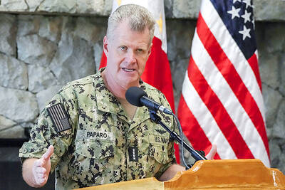
US Indo-Pacific Commander Admiral Samuel Paparo on Friday expressed concern over the rate at which China is diversifying its military exercises, the Financial Times (FT) reported on Saturday. “The rates of change on the depth and breadth of their exercises is the one non-linear effect that I’ve seen in the last year that wakes me up at night or keeps me up at night,” Paparo was quoted by FT as saying while attending the annual Sedona Forum at the McCain Institute in Arizona. Paparo also expressed concern over the speed with which China was expanding its military. While the US
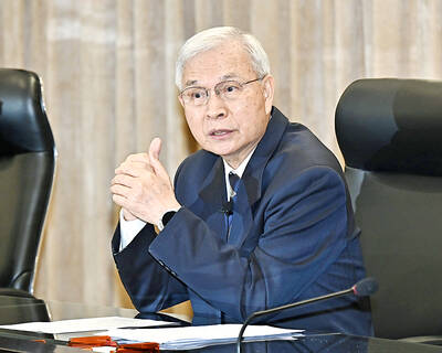
SHIFT: Taiwan’s better-than-expected first-quarter GDP and signs of weakness in the US have driven global capital back to emerging markets, the central bank head said The central bank yesterday blamed market speculation for the steep rise in the local currency, and urged exporters and financial institutions to stay calm and stop panic sell-offs to avoid hurting their own profitability. The nation’s top monetary policymaker said that it would step in, if necessary, to maintain order and stability in the foreign exchange market. The remarks came as the NT dollar yesterday closed up NT$0.919 to NT$30.145 against the US dollar in Taipei trading, after rising as high as NT$29.59 in intraday trading. The local currency has surged 5.85 percent against the greenback over the past two sessions, central